

About
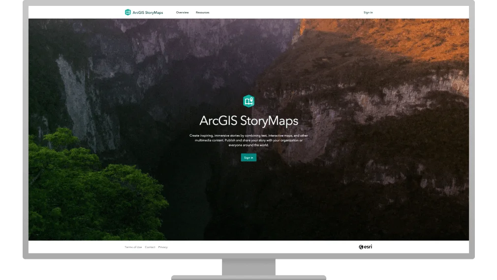
ArcGIS StoryMaps empowers GIS professionals, analysts, communicators, and educators to transform complex geographic data into engaging, visually rich digital stories and presentations. Built by Esri and included with ArcGIS user types, the platform offers an intuitive drag-and-drop builder that requires no coding expertise. Users can combine ArcGIS web maps, 3D scenes, photos, videos, audio, and text into cohesive narratives. The built-in Express Maps feature allows users to quickly design custom, artful maps with points, pop-ups, and arrows — directly within a story — without switching applications. Integration with the ArcGIS Living Atlas of the World provides access to a curated library of ready-to-use maps and authoritative geographic data. Advanced image editing tools (crop, resize, and adjust) are available right within the builder, and a collection of pre-designed themes — or fully custom branding — ensures polished, professional output. Stories can be published as standalone narratives or grouped into collections, then shared via a direct link, embedded in a website, or distributed across social media platforms. Built-in analytics give creators clear insight into audience engagement. ArcGIS StoryMaps is ideal for government agencies, NGOs, environmental organizations, urban planners, educators, and any team that needs to communicate the impact of location-based data to a broad or specialized audience.
Key Features
- Express Maps: Quickly create custom, artful interactive maps with points, pop-ups, and arrows directly within your story or briefing — no external mapping tool required.
- Multimedia Storytelling Builder: Drag-and-drop editor lets you combine ArcGIS maps, 3D scenes, video, audio, images, and text into a cohesive interactive narrative with advanced in-app image editing.
- Themes & Branding: Choose from pre-designed themes or build a custom theme to match your organization's brand, ensuring a polished and consistent visual identity across all content.
- Collections & Briefings: Organize multiple stories into collections and create slide-based presentations called briefings to structure and deliver geographic insights to any audience.
- Audience Analytics: Built-in analytics provide insights into how audiences engage with your stories and briefings, helping you measure reach and impact.
Use Cases
- Environmental organizations mapping conservation efforts and communicating ecosystem data to public audiences and donors.
- Urban planners creating interactive briefings to present city development data and land-use analysis to government stakeholders.
- Journalists and media teams building location-based data narratives around events, demographics, or environmental changes.
- Educators developing interactive geography lessons that combine maps, 3D scenes, and multimedia for student engagement.
- Nonprofit organizations telling impact stories that visualize program reach and outcomes through geographic data and multimedia.
Pros
- No coding required: The intuitive drag-and-drop builder makes it accessible to non-technical users while still leveraging powerful ArcGIS GIS capabilities.
- Deep ArcGIS integration: Seamlessly incorporates existing ArcGIS web maps, web scenes, and the ArcGIS Living Atlas of the World, making it a natural extension of existing GIS workflows.
- Flexible sharing options: Stories and briefings can be shared via link, embedded in websites, or distributed on social media, maximizing audience reach with minimal effort.
Cons
- Requires ArcGIS subscription: The tool is only available as part of a paid ArcGIS user type subscription, making it inaccessible to users outside the Esri ecosystem.
- Limited standalone functionality: Its value is heavily tied to ArcGIS data and maps; users without existing GIS content will find fewer standalone storytelling capabilities compared to general-purpose tools.
Frequently Asked Questions
Who is ArcGIS StoryMaps designed for?
It is designed for GIS professionals, analysts, urban planners, environmental organizations, government agencies, NGOs, and educators who want to communicate geographic data insights through engaging digital narratives.
Do I need coding skills to use ArcGIS StoryMaps?
No. ArcGIS StoryMaps features a flexible drag-and-drop builder that requires no coding. You can create professional stories and briefings entirely through the visual interface.
Is ArcGIS StoryMaps free?
ArcGIS StoryMaps is included with ArcGIS user type subscriptions, which are paid plans. There is no standalone free tier, though it is bundled at no extra cost for existing ArcGIS subscribers.
Can I use my own maps in ArcGIS StoryMaps?
Yes. You can use your existing ArcGIS web maps and 3D web scenes, create new maps using Esri demographic data, use the built-in Express Maps feature, or choose from curated maps in the ArcGIS Living Atlas of the World.
How can I share my ArcGIS StoryMaps content?
Stories and briefings can be published and shared via a direct link, embedded into external websites, or distributed across social media platforms using the tool's built-in sharing options.