
About
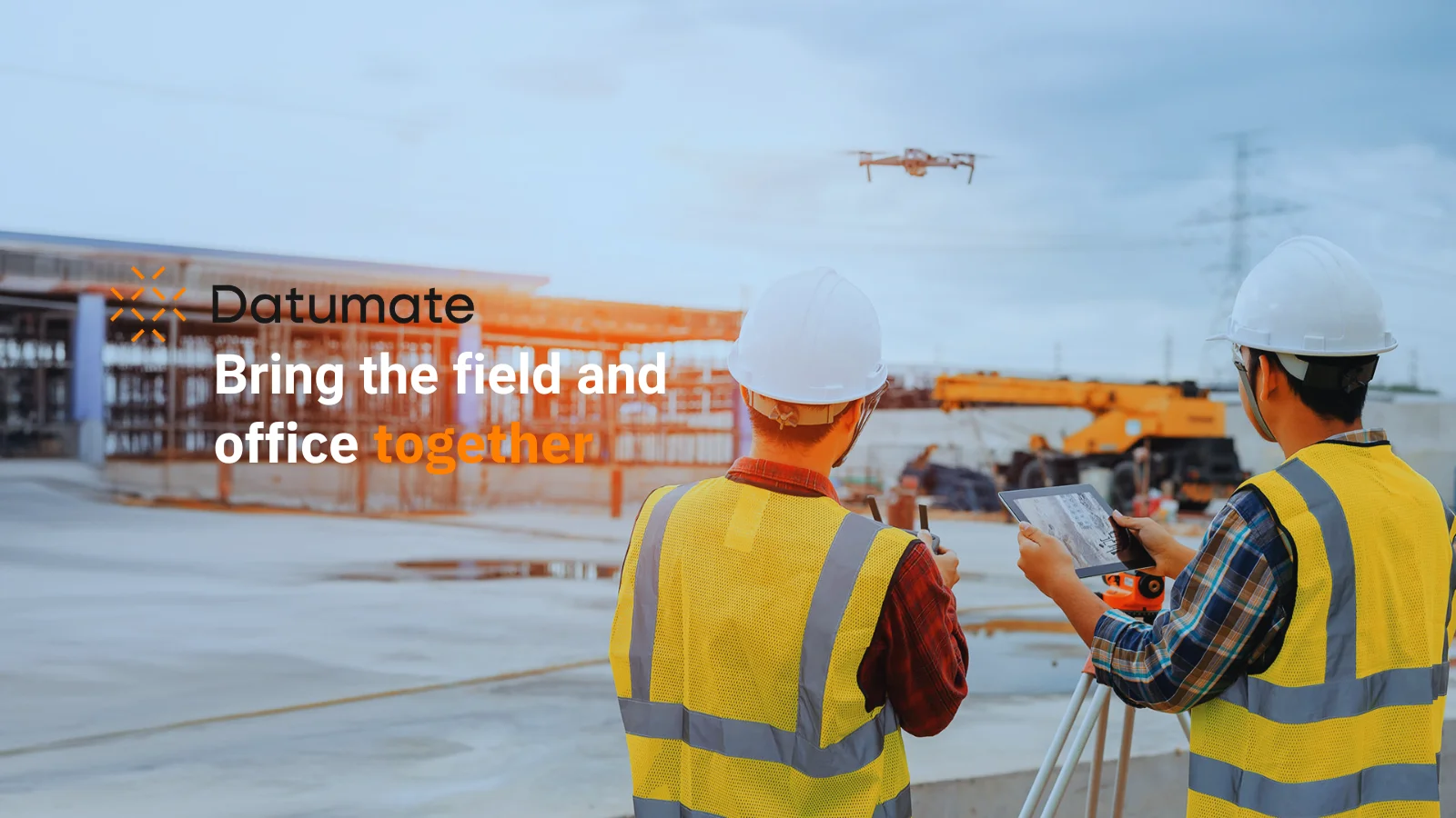
Datumate offers DatuBIM, a cloud-native SaaS platform purpose-built for heavy civil construction — roads, rail, bridges, and earthworks. Unlike generic construction tech designed for vertical builds, DatuBIM is engineered from the ground up to handle the terrain, scale, and workflows unique to infrastructure projects. At its core, the platform ingests data from drone flights and laser scanning to create a shared, visual source of truth accessible to everyone from field crews to C-suite stakeholders. Teams can track work progress in real time, detect deviations from design, and overlay PDF plans directly onto 3D models to catch issues before they become costly rework. DatuBIM supports multiple stakeholder roles: Owners use it to optimize asset management and schedule control; General Contractors leverage it to win more bids, monitor site productivity, and deliver projects on time and on budget; Engineering & Consulting firms use it to plan, design, and oversee projects with a single collaborative platform. With 125+ active customers, 8,900+ sites, and 14,000+ processed drone flights, Datumate has proven real-world adoption among major infrastructure owners and GCs. The platform is designed for fast deployment — delivering measurable ROI in days — and scales across large project portfolios. It directly addresses the heavy civil industry's core pain points: siloed data, reactive reporting, workforce shortages, and the absence of a connected, accurate picture of project status.
Key Features
- Drone & Laser Scan Data Processing: Automatically processes drone flights and laser scanning data to generate accurate 3D models and maps of construction sites.
- Real-Time Progress Tracking & Deviation Detection: Compares actual site conditions against design plans to identify deviations early, reducing costly rework.
- Visual Source of Truth: Provides a single, visual dashboard for all stakeholders — from field teams to executives — replacing siloed spreadsheets with measurable, shareable insights.
- PDF Design Overlay on 3D Models: Allows teams to overlay PDF design drawings directly onto 3D site models for quick comparison and verification.
- Multi-Stakeholder Collaboration: Role-based access and reporting tools connect owners, general contractors, and engineering firms on a single shared platform.
Use Cases
- Tracking earthworks progress on a highway construction project by comparing drone survey data against design plans to detect volume deviations.
- Enabling infrastructure owners to remotely monitor asset construction progress across multiple sites without frequent physical site visits.
- Helping general contractors generate accurate, visual progress reports for client presentations and bid submissions.
- Allowing engineering & consulting firms to overlay original PDF design drawings onto live 3D site models to verify construction accuracy.
- Streamlining documentation and reporting workflows on rail and bridge projects to reduce administrative overhead and improve schedule adherence.
Pros
- Purpose-Built for Heavy Civil: Unlike generic construction platforms, DatuBIM is designed specifically for infrastructure projects like roads, rail, bridges, and earthworks.
- Fast Time-to-Value: Easy to deploy and scale, with customers reporting measurable ROI within days of onboarding.
- Proven at Scale: Trusted by 125+ customers across 8,900+ sites with 14,000+ processed drone flights, demonstrating strong real-world reliability.
- Unified Collaboration: Eliminates data silos by giving every stakeholder — owner, GC, and consultant — access to the same accurate, up-to-date project picture.
Cons
- Enterprise-Focused Pricing: The demo-driven sales model suggests pricing is tailored for large organizations, which may be a barrier for smaller contractors.
- Requires Drone Hardware: Realizing the full value of the platform depends on drone flight capabilities, which require equipment, operators, and potentially regulatory compliance.
- Niche Use Case: Optimized for heavy civil infrastructure; teams working on vertical construction or interior builds may find limited applicability.
Frequently Asked Questions
What types of projects is DatuBIM best suited for?
DatuBIM is purpose-built for heavy civil infrastructure projects such as roads, highways, rail lines, bridges, tunnels, and earthworks. It is not designed for vertical construction like high-rises or interior builds.
What data sources does Datumate support?
The platform supports data from drone flights (photogrammetry) and laser scanning (LiDAR), which are processed into 3D models and site maps for analysis.
Who can use DatuBIM within a project team?
DatuBIM supports multiple stakeholder roles including asset owners, general contractors, and engineering & consulting firms — each with tailored dashboards and reporting views.
How quickly can teams start seeing value from the platform?
Datumate states that DatuBIM is easy to deploy and scale, with customers typically experiencing measurable results within days of onboarding.
Is DatuBIM available as a cloud platform or on-premise?
DatuBIM is a cloud-native SaaS platform, meaning it is accessed via the web without the need for on-premise installation.