
P
About
Mapbox Satellite is a comprehensive geospatial platform that combines global, high-resolution satellite imagery with rich map layers including roads, labels, 3D landmarks, and points of interest. Designed for developers and enterprises, it provides the building blocks to create fully customized, production-grade mapping applications across any platform. The platform includes Mapbox GL JS for immersive web maps, Mobile Maps SDKs for iOS and Android, and Studio for designing custom map styles. Beyond base maps, Mapbox offers a Navigation suite for automotive and mobile routing, a Search product with geocoding and address autofill, and a growing Location AI layer featuring MapGPT and the Feedback Agent for AI-powered geospatial insights. For data needs, Mapbox provides proprietary datasets including live traffic conditions, population movement patterns, and official administrative boundaries. Enterprise users can deploy Atlas for on-premise or private cloud installations. Mapbox Satellite is ideal for logistics and delivery platforms, real estate visualization tools, outdoor and adventure apps, autonomous vehicle systems, business intelligence dashboards, and telecommunications coverage mapping. Its free tier makes it accessible for startups and indie developers, while its scalable infrastructure supports large enterprise deployments. With SDKs, APIs, and a developer-friendly ecosystem including Discord, Stack Overflow support, and comprehensive documentation, Mapbox Satellite is a go-to choice for location-aware product development.
Key Features
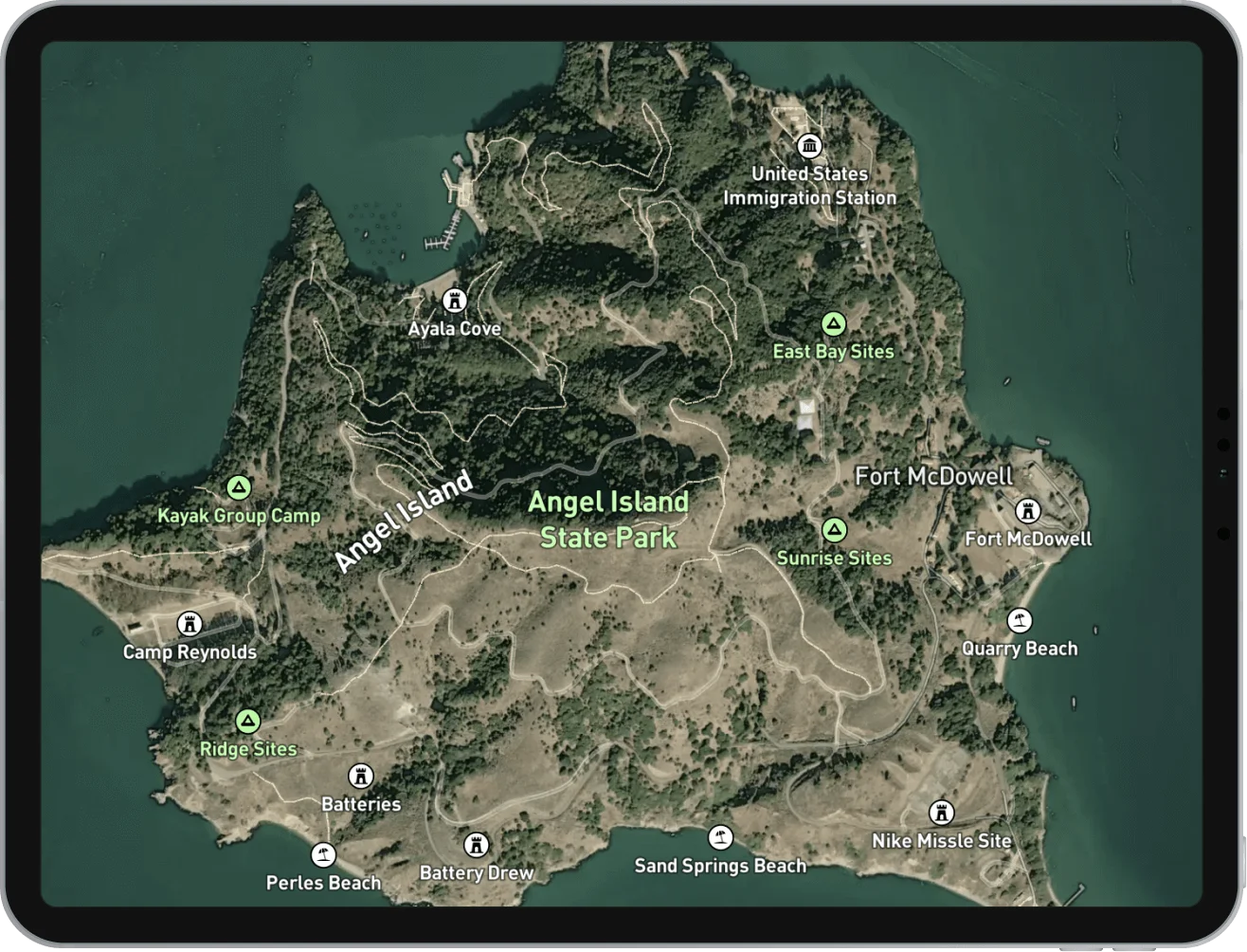
- High-Resolution Satellite Imagery: Access global, high-resolution satellite imagery with detailed road, label, and POI overlays in a single unified map style.
- Multi-Platform SDKs: Build mapping experiences for web using Mapbox GL JS, and for native iOS and Android apps using the Mobile Maps SDK — all from a shared platform.
- Navigation & Routing Services: Integrate turn-by-turn navigation, matrix routing, and direction APIs for mobile apps, automotive in-vehicle systems, and EV navigation solutions.
- Location AI: Leverage MapGPT for location-intelligent AI assistance and the Feedback Agent to capture real-time, geo-contextual user feedback within your applications.
- Proprietary Geospatial Data: Access unique datasets including live and historical traffic, population movement patterns, and official administrative boundaries to power data-driven products.
Use Cases
- Logistics and delivery companies embedding real-time route optimization and live satellite tracking into their dispatch platforms.
- Real estate platforms visualizing property listings, neighborhood boundaries, and market data on high-resolution satellite base maps.
- Outdoor and adventure app developers creating detailed terrain and trail maps for athletes and hikers using satellite imagery.
- Automotive OEMs integrating Mapbox Navigation into in-vehicle infotainment systems and companion mobile apps for precise turn-by-turn directions.
- Business intelligence teams enriching dashboards with geospatial data layers — such as traffic patterns and movement data — to support location-based decision making.
Pros
- Comprehensive Ecosystem: Mapbox offers maps, navigation, search, AI, and data in one platform, reducing the need to stitch together multiple geospatial vendors.
- Cross-Platform Support: Native SDKs for iOS and Android, a powerful web library, and open APIs make it straightforward to deploy consistent experiences across all surfaces.
- AI-Augmented Location Features: Built-in location AI tools like MapGPT and the Feedback Agent add intelligence to geospatial workflows without requiring separate ML infrastructure.
- Free Tier Available: Developers can get started for free, making it accessible for prototyping, indie projects, and small-scale applications before committing to paid tiers.
Cons
- Costs Scale Quickly: Pricing can become significant at high map load or API call volumes, which may be a concern for consumer apps with large user bases.
- Steeper Learning Curve for Customization: Advanced styling, custom tilesets, and Mapbox Studio can require meaningful developer investment to configure beyond out-of-the-box styles.
- Vendor Lock-In Risk: Deep integration with Mapbox-specific SDKs and APIs may make it challenging to migrate to alternative mapping providers later.
Frequently Asked Questions
What is Mapbox Satellite?
Mapbox Satellite is a map style and platform product that combines high-resolution global satellite imagery with road networks, labels, and points of interest, enabling developers to embed rich, interactive maps into their applications.
Is Mapbox Satellite free to use?
Yes, Mapbox offers a free tier that allows developers to get started without upfront costs. Paid plans kick in based on usage volume — such as map loads and API calls — making it freemium in structure.
What platforms does Mapbox support?
Mapbox supports web (via Mapbox GL JS), iOS and Android (via Mobile Maps SDKs), and server-side integrations via REST APIs, covering virtually all major development platforms.
Can I customize the satellite map style?
Yes. Using Mapbox Studio, developers and designers can customize colors, layers, fonts, and data overlays on top of the satellite imagery to match their brand or application requirements.
What is Location AI in Mapbox?
Location AI refers to Mapbox's suite of AI-powered geospatial features, including MapGPT (a location-aware AI assistant) and the Feedback Agent (for capturing contextual real-time user feedback), enabling smarter, AI-driven location experiences.