

About
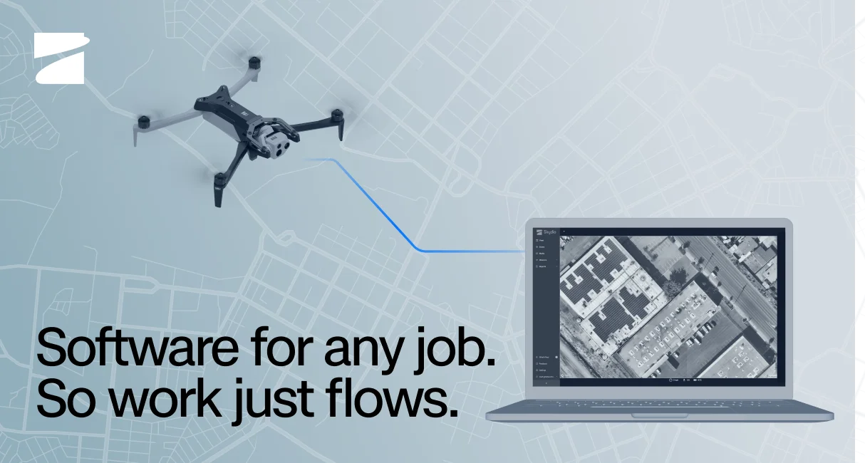
Skydio Cloud is a comprehensive autonomous drone software platform built for enterprise and government organizations that operate drone programs at scale. The platform combines cloud fleet management, mission automation, and real-time operational tools into a unified environment accessible from any browser. Key applications include DFR Command for launching and managing Drone as First Responder programs, Remote Ops for fully automated pilotless workflows, and a Mission Planner for building, scheduling, and repeating complex flight missions. Real-time capabilities include a Remote Flight Deck for browser-based flying, live streaming to any device, and Crosshair Coordinates that overlay ground-level GPS data directly on video feeds for faster field decisions. On the data side, Fleet Manager centralizes drone, dock, operator, and flight tracking, while Media Sync and Data Storage ensure mission data is securely transferred, organized, and ready for analysis. The 3D Scan module enables autonomous capture of accurate 2D maps and 3D models with onboard modeling for immediate post-flight review. A Cloud API and an Extend Integrations Catalog allow developers and enterprises to embed aerial data capture into their own applications and existing workflows. Skydio Cloud is purpose-built for industries including public safety, utilities, construction, oil and gas, transportation, and national security, offering a scalable path from single-drone pilots to fully autonomous fleet operations.
Key Features
- DFR Command: Launch, operate, and scale Drone as First Responder programs with dedicated command-and-control tooling designed for emergency response agencies.
- Remote Ops & Remote Flight Deck: Fly and manage drones entirely from a browser with no pilot required on-site, enabling fully automated beyond-visual-line-of-sight operations.
- Mission Planner & Asset-Based Inspection: Build, schedule, and automate recurring flight missions using existing asset data to drive structured inspection plans at scale.
- 3D Scan & Onboard Modeling: Autonomously capture data for accurate 2D maps and 3D models, with in-field onboard model generation so operators can confirm coverage immediately after landing.
- Cloud API & Extend Integrations: Embed drone mission planning, live streaming, fleet data, and media workflows directly into existing enterprise applications via a developer-friendly Cloud API and integrations catalog.
Use Cases
- A police department deploys DFR Command to launch drones autonomously within 60 seconds of a 911 call, providing live aerial video to dispatchers before first responders arrive on scene.
- A utility company uses Remote Ops and asset-based inspection plans to autonomously inspect transmission towers and substations across hundreds of miles without sending field crews.
- A construction firm uses Mission Planner and 3D Scan to capture weekly site progress maps, syncing them automatically to cloud storage for project managers and stakeholders to review remotely.
- A national security agency integrates Skydio Cloud via the Cloud API to embed real-time drone streaming and fleet telemetry into their existing command-and-control software infrastructure.
- A city's emergency management office uses the Transparency Dashboard to share selected drone flight data with community members, building public trust in their aerial surveillance program.
Pros
- Fully Remote & Pilotless Operations: Remote Ops and the Remote Flight Deck eliminate the need for an on-site pilot, dramatically reducing operational costs and enabling rapid deployment in dangerous or hard-to-reach environments.
- End-to-End Workflow Automation: From mission scheduling to media sync and data storage, the platform automates the entire drone workflow lifecycle, saving time and reducing manual errors.
- Deep Enterprise Integration: The Extend Integrations Catalog and Cloud API make it easy to connect aerial data capture with existing software ecosystems, including Axon and other public safety platforms.
- Purpose-Built for High-Stakes Industries: Tailored features for public safety, utilities, national security, and infrastructure inspection address specific regulatory, data security, and operational requirements of enterprise customers.
Cons
- Enterprise Pricing Only: Skydio Cloud is positioned as an enterprise solution with no self-serve or transparent pricing, making it inaccessible for small teams or individual hobbyists.
- Hardware Lock-In: The software is tightly coupled to Skydio's own drone hardware (X10, R10, F10, Dock), limiting flexibility for organizations with existing third-party drone fleets.
- Steep Learning Curve for Full Deployment: Setting up DFR programs, regulatory compliance, and fleet-level automation requires significant onboarding time and may require Skydio's professional services team.
Frequently Asked Questions
What is Skydio Cloud?
Skydio Cloud is an enterprise drone software platform that centralizes fleet management, mission planning, live video streaming, remote operations, and data storage for organizations running autonomous drone programs.
Do I need a pilot on-site to use Skydio Cloud?
No. With Remote Ops and the Remote Flight Deck, authorized operators can fly and manage drones entirely from a browser without anyone physically present at the flight location.
What industries is Skydio Cloud designed for?
Skydio Cloud is built for public safety (DFR, fire, law enforcement), utilities, oil and gas, construction, transportation, national security, and homeland security agencies.
Can Skydio Cloud integrate with our existing software?
Yes. The platform offers a Cloud API and an Extend Integrations Catalog that allow developers to embed drone data capture, streaming, and fleet management into existing enterprise applications and workflows, including integrations with platforms like Axon.
What mapping and inspection capabilities does Skydio Cloud support?
Skydio Cloud includes 3D Scan for autonomous 2D map and 3D model capture, Onboard Modeling for immediate post-flight review, Mission Planner for scheduled automated flights, and asset-based inspection planning using existing infrastructure data.