

About
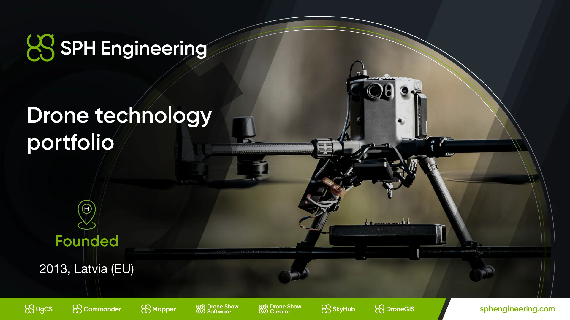
SPH Engineering is a drone technology company offering a comprehensive suite of software, hardware, and integrated systems for professional UAV operations in surveying, inspection, and geospatial mapping. Their flagship product, UgCS, enables advanced flight planning and control for single and multi-drone operations, including True Terrain Following (TTF) for consistent altitude above terrain in complex environments. The SkyHub onboard computer integrates with a wide range of sensors — including Ground Penetrating Radars (GPRs), magnetometers, gamma-ray spectrometers, echo sounders, methane detectors, and LiDAR — enabling sophisticated multi-sensor data collection missions. GeoHammer processes multi-sensor geophysical data, while DroneGIS offers an online GIS platform tailored for surveyors and geophysicists. SPH Engineering serves industries including mining and exploration, construction and engineering, utilities, academia and research, and environmental monitoring. Applications span mineral exploration, underground utility mapping, gas pipeline methane inspection, water depth mapping (bathymetry), unexploded ordnance (UXO) detection, soil mapping, precision agriculture, and large-scale drone light shows. Their training academy (SPH Academy) and comprehensive support resources make it accessible for both experienced operators and organizations new to drone-based data collection. More than 12 Guinness World Record drone shows have been operated using their Drone Show Software.
Key Features
- UgCS Flight Planning & Control: Advanced UAV mission planning software with True Terrain Following (TTF), supporting both single-drone and multi-drone fleet operations across complex terrain.
- SkyHub Onboard Computer: A universal drone onboard computer that integrates with diverse payloads including LiDAR, GPR, magnetometers, echo sounders, gamma-ray spectrometers, and methane detectors.
- GeoHammer Multi-Sensor Data Processing: Specialized desktop software for processing and interpreting multi-sensor geophysical data collected during drone missions.
- DroneGIS Online Platform: A cloud-based GIS tool designed for surveyors and geophysicists to manage, visualize, and share drone-collected spatial data online.
- UgCS Commander Fleet Management: Multi-drone coordination and fleet operations management for large-scale UAV deployments, including drone light show orchestration.
Use Cases
- Mineral exploration using drone-mounted magnetometers and gamma-ray spectrometers to detect subsurface deposits.
- Underground utility mapping with GPR-equipped UAVs to locate buried pipes and cables without excavation.
- Water depth mapping (bathymetry) for dredging planning and waterway monitoring using drone-mounted echo sounders.
- Gas pipeline and facility methane leak inspection using drone-integrated methane detectors for rapid, safe aerial surveys.
- Large-scale drone light show design and real-time control for entertainment events, with technology behind 12+ Guinness World Records.
Pros
- Comprehensive End-to-End Ecosystem: Covers the entire drone workflow from mission planning (UgCS) to sensor integration (SkyHub) to data analysis (GeoHammer, DroneGIS), reducing the need for third-party tools.
- Wide Sensor Compatibility: Supports an extensive range of scientific payloads including LiDAR, GPR, magnetometers, methane detectors, echo sounders, and gamma-ray spectrometers through SkyHub.
- Cross-Industry Versatility: Applicable across mining, construction, utilities, environmental monitoring, academia, and entertainment — making it a flexible platform for diverse professional use cases.
- Proven Track Record: Technology trusted for over 12 Guinness World Record drone light shows and deployed in demanding field conditions worldwide.
Cons
- Steep Learning Curve: The breadth of software tools and sensor configurations requires significant training and domain expertise to use effectively, especially for new operators.
- Enterprise-Level Cost: As a professional-grade hardware and software ecosystem, the total cost of deployment — including sensors and licensing — can be substantial for smaller organizations.
- Hardware Dependency: Full platform capabilities require compatible SPH Engineering hardware (SkyHub, supported sensors), limiting flexibility if operators have existing third-party equipment.
Frequently Asked Questions
What is UgCS and what does it do?
UgCS (Universal Ground Control Software) is SPH Engineering's flagship flight planning and control application. It enables operators to plan automated UAV missions, including True Terrain Following flights, manage multi-drone fleets, and interface with the SkyHub onboard computer for sensor-driven data collection.
What is SkyHub?
SkyHub is a drone onboard computer developed by SPH Engineering that acts as a bridge between a UAV and its scientific payload sensors. It supports a wide array of sensors including LiDAR, GPR, magnetometers, echo sounders, methane detectors, and more, enabling precise, synchronized data collection.
Which industries does SPH Engineering serve?
SPH Engineering serves mining and mineral exploration, construction and engineering, utilities (gas and power), academia and research, environmental monitoring, hydrology, precision agriculture, and entertainment (drone light shows).
What is True Terrain Following (TTF) and why does it matter?
True Terrain Following is a UgCS feature that automatically adjusts a drone's altitude in real time to maintain a consistent height above the ground, even over uneven terrain. This is critical for geophysical surveys where sensor altitude directly affects data quality.
Does SPH Engineering offer training?
Yes. SPH Engineering operates SPH Academy, which provides training courses and resources for UgCS, SkyHub, GeoHammer, and related drone survey workflows. Additional support is available through manuals, tutorials, and a dedicated support portal.