
About
WhaleAlert is a free citizen science application designed to reduce vessel strikes—one of the leading causes of whale mortality worldwide. The app displays real-time safety zones and whale presence alerts on nautical charts sourced from official government agencies, helping mariners and recreational boaters make informed decisions before and during their voyages. Users can submit whale sightings directly from their personal devices, which appear instantly on a shared map. Verified sightings turn green after review by the WhaleAlert team, creating a trusted, community-powered layer of marine mammal intelligence. In addition to crowd-sourced data, the platform integrates acoustic detections from underwater buoys and gliders as well as scientific aerial surveys, providing a comprehensive picture of whale activity. WhaleAlert focuses on species most vulnerable to vessel strikes, including the critically endangered North Atlantic right whale (only ~370 remaining), humpback whales, fin whales, sperm whales, and pilot whales. The data collected through the app directly supports the establishment of speed zones and regulatory warnings to slow vessels in key habitats. The app is used by a wide range of stakeholders—commercial mariners, recreational boaters, wildlife scientists, conservation organizations, and casual beachgoers—making it a uniquely cross-disciplinary tool. Public sightings submitted through WhaleAlert have tangible policy impact, feeding into government-backed vessel speed regulations that protect endangered marine mammals.
Key Features
- Real-Time Safety Zone Map: Displays live whale safety zones and alerts on nautical charts from official government sources, helping mariners navigate responsibly.
- Citizen Science Sighting Reports: Users can submit whale sightings directly from their device; reports appear instantly on the shared map and are verified by the WhaleAlert team.
- Multi-Source Whale Detection Data: Combines crowd-sourced sightings with acoustic buoy/glider detections and aerial survey data for comprehensive, accurate whale presence information.
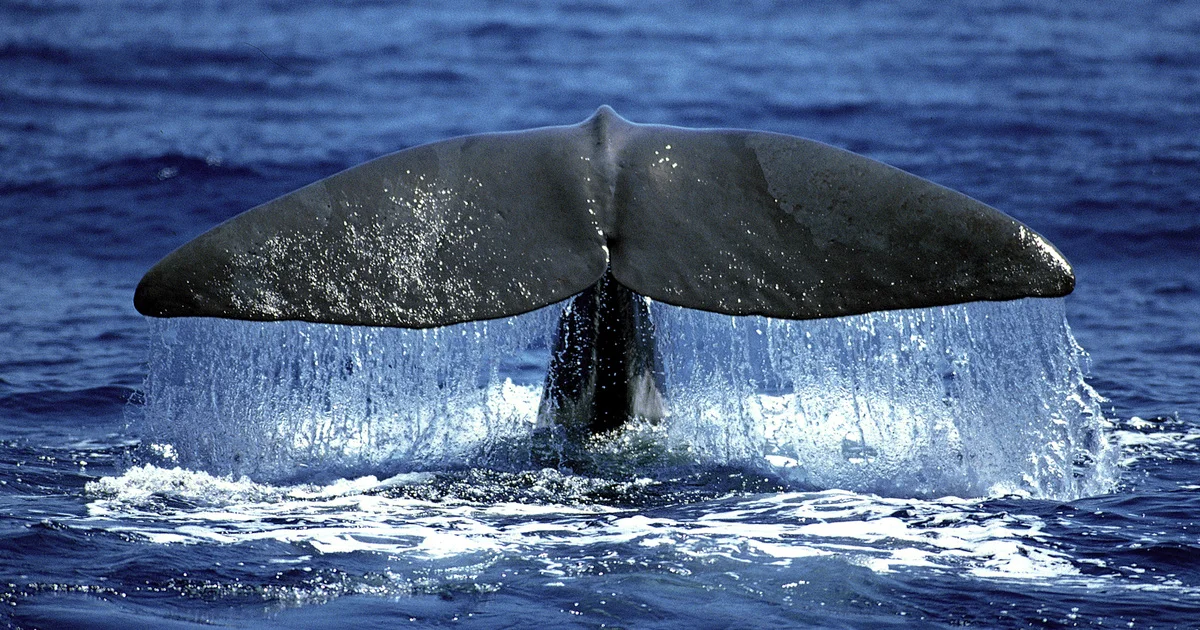
- Species-Specific Alerts: Covers critically endangered and vulnerable species including North Atlantic right whales, humpbacks, fin whales, sperm whales, and pilot whales.
- Policy & Regulatory Impact: Sighting data collected through the app feeds directly into government speed zone regulations and vessel management policies to protect marine mammals.
Use Cases
- A commercial ship captain checks the WhaleAlert map before departing a busy port to identify active whale safety zones along the planned route.
- A recreational boater on the US Atlantic coast receives a real-time alert about North Atlantic right whales nearby and reduces vessel speed accordingly.
- A marine biologist uses the app to supplement field research by collecting geo-tagged citizen sighting data across a wide geographic area.
- A coastal beachgoer spots a distressed whale near shore and submits a report through the app to alert nearby mariners and conservation responders.
- A conservation organization uses aggregated WhaleAlert sighting data to advocate for expanded vessel speed restriction zones in critical whale habitats.
Pros
- Completely Free: WhaleAlert is available at no cost, making marine mammal protection accessible to any mariner, researcher, or concerned citizen.
- Real Conservation Impact: Data collected directly influences speed zone policies and vessel regulations, creating measurable, real-world protection for endangered whale species.
- Multi-Source Data Accuracy: Integrates crowd-sourced sightings, scientific acoustic detections, and aerial surveys for a richer, more reliable map than any single source alone.
- Easy to Use for Non-Experts: Designed for mariners, recreational boaters, and beachgoers—not just scientists—with a simple interface for quick sighting submission and map navigation.
Cons
- Coverage Depends on Community Participation: In areas with fewer active users, sighting data may be sparse or delayed, reducing the reliability of real-time alerts in less-trafficked regions.
- Verification Lag: User-submitted sightings display in gray until verified by the WhaleAlert team, meaning unverified reports may introduce some uncertainty for mariners.
- Limited to Marine Conservation Use Case: The app is purpose-built for whale strike prevention and does not extend to broader marine wildlife tracking or general ocean safety features.
Frequently Asked Questions
How does WhaleAlert work?
WhaleAlert aggregates whale presence data from citizen-submitted sightings, acoustic underwater detections, and aerial surveys, then displays them on a nautical chart map. Mariners receive alerts and can see safety zones to help them slow down and avoid whale collisions.
Is WhaleAlert free to use?
Yes, WhaleAlert is a free citizen science app available to anyone. It was developed by IFAW (International Fund for Animal Welfare) as a public conservation tool.
Who should use WhaleAlert?
WhaleAlert is designed for commercial mariners, recreational boaters, wildlife scientists, conservation researchers, and beachgoers who want to report or stay informed about whale activity in their area.
Which whale species does WhaleAlert track?
WhaleAlert focuses on species most at risk from vessel strikes, including the North Atlantic right whale, humpback whale, fin whale, sperm whale, and pilot whale, among others depending on region.
How are whale sightings verified?
User-submitted sightings appear on the map in gray immediately after submission. The WhaleAlert team reviews reports and turns them green once verified, ensuring data accuracy for other users.