

About
Constellr is a space-based thermal intelligence company that designs, launches, and operates its own satellites to provide high-accuracy heat pattern data across the globe. Unlike optical satellites that capture visible structures or radar satellites that penetrate clouds, Constellr's thermal satellites reveal human activity, infrastructure utilization, and environmental stress through heat signatures invisible to conventional remote sensing technologies. At the core of the platform is SkyBee, a sovereign satellite constellation that provides guaranteed access with zero foreign dependencies. The system delivers ±1–2K calibrated absolute temperature measurements—a capability unique in the commercial satellite market—through patent-protected sensor fusion technology that achieves tactical resolution at strategic scale. Constellr serves five primary domains: National Security (detecting concealed activity and nighttime operations at critical sites), Maritime Awareness (tracking vessels and unusual maritime behavior), Urban Dynamics (identifying infrastructure anomalies and city heat patterns), Industrial Monitoring (measuring asset utilization and thermal anomalies at industrial facilities), and Food & Water Security (assessing crop stress, irrigation efficiency, and emerging agricultural risks). The platform is fully operational and continuously expanding its constellation. It supports government, defense, and enterprise clients who require decision-grade intelligence derived from thermal data. Constellr's integrated architecture—spanning satellites, ground segment, and analytics—enables near-real-time insights at a global scale, making it a powerful tool for climate action, resource management, and strategic operations.
Key Features
- Absolute Thermal Accuracy: Only commercial provider offering ±1–2K calibrated absolute temperature measurements from orbit, enabling precise thermal differentiation at building level.
- Sovereign Satellite Constellation: Fully proprietary satellite fleet with guaranteed access and zero foreign dependencies, ensuring data sovereignty and mission continuity.
- Day & Night Building-Level Detection: Thermal constellation detects human activity, presence, and operational status of assets around the clock, regardless of lighting or cloud conditions.
- End-to-End Intelligence Architecture: Integrated system spanning satellite hardware, ground segment, and analytics pipeline for seamless delivery of actionable thermal insights.
- Multi-Domain Applications: Single thermal data layer serves national security, maritime awareness, urban operations, industrial monitoring, and food and water security use cases.
Use Cases
- Defense and intelligence agencies monitoring concealed military activity, nighttime operations, or the operational status of critical infrastructure sites using thermal signatures.
- Maritime domain awareness teams detecting and tracking vessels at sea, including those operating without AIS transponders, through thermal heat emissions.
- City planners and utility operators analyzing urban heat island effects, identifying infrastructure anomalies, and optimizing energy distribution across metropolitan areas.
- Industrial asset managers monitoring factory or energy plant utilization levels and detecting equipment anomalies or unexpected shutdowns through thermal change detection.
- Agricultural agencies and food security organizations tracking crop water stress, evaluating large-scale irrigation efficiency, and forecasting yield risks at regional scale.
Pros
- Unmatched Thermal Precision: The ±1–2K calibrated measurement capability is unique in the industry, enabling detection of subtle operational changes invisible to optical or radar satellites.
- Sovereign & Reliable Access: Proprietary satellites with no foreign dependencies ensure guaranteed data access for sensitive government and defense missions.
- Broad Application Coverage: One thermal intelligence layer powers diverse use cases from crop monitoring to national security, reducing the need for multiple specialized data vendors.
- Operational Now: Constellation is already in orbit and delivering data, not a future concept—clients can access thermal intelligence immediately.
Cons
- Enterprise-Only Pricing: Designed for government, defense, and large enterprise clients; pricing and access are not publicly listed, making it inaccessible to smaller organizations.
- Narrow Commercial Ecosystem: As a specialized space-based platform, integration with standard GIS or analytics tools may require custom workflows and technical onboarding.
- Coverage Dependent on Constellation Expansion: Global revisit rates and site-specific coverage improve as the constellation grows, so current coverage may be limited for certain geographies.
Frequently Asked Questions
What makes Constellr different from other satellite imagery providers?
Constellr specializes exclusively in thermal (heat) data rather than optical or radar imagery. Its satellites can detect human activity, infrastructure load, and environmental stress through heat signatures, day or night, and deliver the industry's only ±1–2K calibrated absolute temperature measurements.
What is the SkyBee satellite?
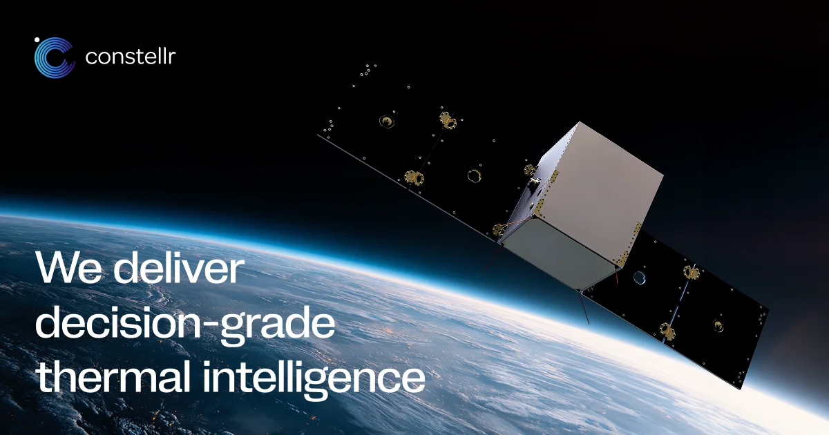
SkyBee is Constellr's proprietary satellite platform. It uses patent-protected sensor fusion technology to achieve tactical resolution at strategic scale, forming the core of the company's sovereign thermal intelligence constellation.
Who are Constellr's primary customers?
Constellr serves government agencies, defense and intelligence organizations, and large enterprises in sectors including national security, maritime, urban planning, industrial operations, and agriculture.
How does thermal intelligence support food and water security?
By measuring surface temperature and soil heat signatures at scale, Constellr can detect crop stress, assess irrigation system performance, and identify early warning signs of drought or water scarcity before they become crises.
Is Constellr's constellation currently operational?
Yes, Constellr is operational now with satellites in orbit and is continuously expanding the constellation to improve global coverage, revisit frequency, and resolution capabilities.