

About
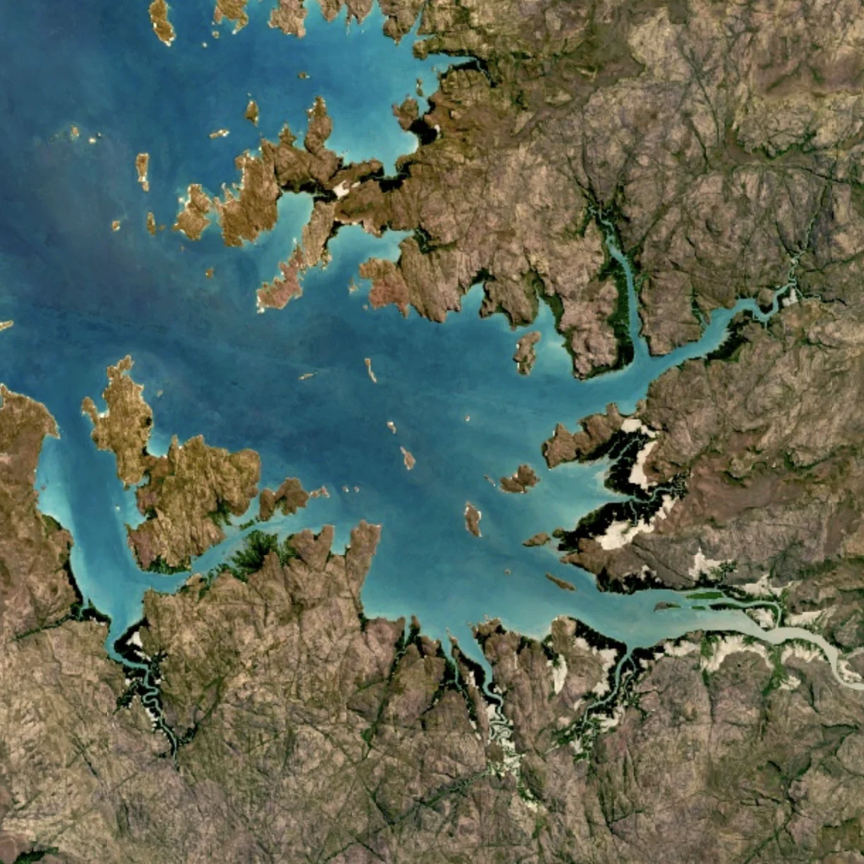
Google Earth Engine is Google's powerful cloud-based geospatial analysis platform, purpose-built for processing and analyzing vast amounts of satellite imagery and Earth observation data. It hosts over 80 petabytes of geospatial data spanning more than 37 years of historical imagery, updated and expanded daily, giving users instant access to one of the world's largest public archives of satellite data. The platform exposes a simple yet powerful API available in both Python and JavaScript, making it accessible to a wide range of developers and researchers without needing to manage large-scale infrastructure. Its web-based Code Editor enables rapid, interactive algorithm development with real-time access to petabytes of data directly in the browser. Earth Engine is used across diverse fields including remote sensing research, climate change monitoring, deforestation detection, disease outbreak prediction, and natural resource management. Organizations like Global Forest Watch rely on Earth Engine to monitor tree cover changes at global scale. Google has also introduced Google Earth AI, a suite of geospatial AI models and datasets designed to address critical global challenges. The platform is free for non-commercial, academic, and research use, and is now also available for commercial applications. It is trusted by leading scientists, non-profits, government agencies, and enterprises worldwide seeking to understand and respond to changes on Earth's surface.
Key Features
- 80+ Petabyte Geospatial Data Catalog: Access over 80 petabytes of satellite imagery and scientific datasets spanning 37+ years, updated daily and instantly available for analysis.
- Python & JavaScript APIs: Use Earth Engine's flexible APIs in Python or JavaScript to write and deploy custom geospatial algorithms leveraging Google's cloud infrastructure.
- Web-Based Code Editor: Develop, test, and iterate on geospatial algorithms interactively in a browser-based IDE with instant access to petabytes of data and real-time visualization.
- Google Earth AI Models: A growing collection of AI models and datasets built for geospatial intelligence, designed to tackle critical global challenges such as deforestation, climate change, and disaster response.
- Planetary-Scale Cloud Analysis: Run complex geospatial computations at global scale without managing infrastructure, backed by Google's distributed cloud computing capabilities.
Use Cases
- Monitoring global forest cover change and deforestation in near real-time using multi-decade satellite imagery archives.
- Predicting and tracking disease outbreaks by correlating environmental and land-use data with health indicators.
- Conducting climate change research by analyzing long-term trends in temperature, land cover, and vegetation indices.
- Supporting natural resource management and conservation planning through large-scale land use and habitat mapping.
- Urban growth analysis and infrastructure planning by mapping impervious surface expansion and land use change over time.
Pros
- Unmatched Data Archive: Over 80 petabytes of ready-to-use satellite imagery and geospatial datasets spanning decades, eliminating the need to source or store data independently.
- Free for Research & Academia: Scientists, researchers, and non-profits can access the full power of the platform at no cost, lowering barriers to impactful environmental research.
- Scalable Cloud Infrastructure: Analyses that would take weeks on local hardware run in minutes or hours on Google's planetary-scale cloud, making global studies practical.
Cons
- Commercial Use Requires Paid Plan: Organizations using Earth Engine for commercial purposes must sign up for a paid tier, which may be a barrier for startups and small businesses.
- Steep Learning Curve: Effective use of the platform requires knowledge of remote sensing, geospatial concepts, and programming, making it less accessible to non-technical users.
- Limited Real-Time Data Processing: While the catalog is updated daily, Earth Engine is optimized for batch and historical analysis rather than true real-time streaming use cases.
Frequently Asked Questions
What is Google Earth Engine?
Google Earth Engine is a cloud-based geospatial analysis platform that provides access to a multi-petabyte archive of satellite imagery and scientific datasets, along with powerful tools and APIs for analyzing Earth observation data at planetary scale.
Is Google Earth Engine free to use?
Yes, Google Earth Engine remains free for non-commercial, academic, and research use. It is also available for commercial use under a paid plan introduced more recently.
What programming languages does Earth Engine support?
Earth Engine supports both Python and JavaScript through its official APIs, and also provides a browser-based Code Editor built on JavaScript for interactive development.
What kind of data is available in Earth Engine?
The platform's public data catalog contains over 80 petabytes of geospatial data, including 37+ years of Landsat, Sentinel, MODIS, and other satellite imagery, as well as climate, terrain, and scientific datasets updated daily.
Who uses Google Earth Engine?
Earth Engine is used by scientists, environmental researchers, non-profit organizations, government agencies, and enterprises for applications such as deforestation monitoring, climate change research, disease outbreak prediction, and natural resource management.