

About
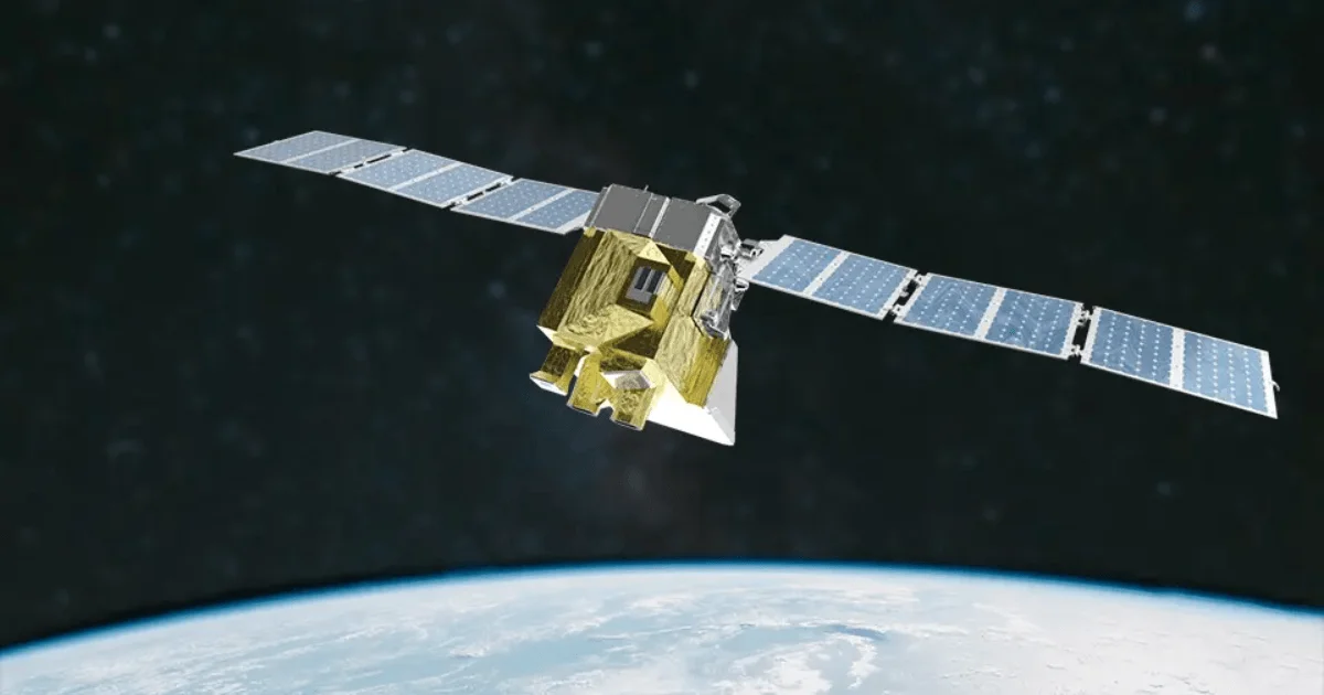
MethaneSAT is a cutting-edge climate technology initiative that uses an advanced satellite to measure methane emissions across the globe at unprecedented scale and precision. Developed and operated by the Environmental Defense Fund (EDF) with backing from the Bezos Earth Fund, The Audacious Project, and the New Zealand Space Agency, MethaneSAT targets one of the most critical levers in combating climate change: methane from the oil and gas sector. The platform enables users to analyze, compare, and act on emissions data across different geographic regions, monitor how emissions change over time, and identify areas where reductions will have the greatest impact. Unlike other monitoring approaches, MethaneSAT's sensing technology covers wide areas with fine precision, bridging the gap between satellite imagery and ground-level accountability. All data collected by MethaneSAT is made freely available online, ushering in a new era of climate transparency. This open-data approach empowers policymakers, scientists, journalists, NGOs, and energy companies to make informed decisions grounded in verified, real-world measurements rather than estimates or self-reported inventories. MethaneSAT is particularly valuable for climate researchers, energy regulators, ESG-focused investors, and sustainability professionals who need reliable, independent emissions data. Its findings have already demonstrated that reported inventories often underestimate actual methane emissions, making it an essential tool for honest climate accountability.
Key Features
- Wide-Scale Satellite Sensing: Advanced satellite technology detects methane emissions across entire regions simultaneously, covering far more area than ground-based or airborne methods.
- High Accuracy & Precision: MethaneSAT delivers unmatched measurement accuracy, capturing emissions data that frequently reveals discrepancies with industry-reported inventories.
- Free & Open Data Access: All emissions data is freely available online, enabling researchers, regulators, journalists, and businesses to access verified climate data without cost.
- Emissions Comparison & Trend Monitoring: Users can compare emissions across different geographic areas and track how methane levels change over time to identify progress or deterioration.
- Regional & Industry Benchmarking: MethaneSAT data enables benchmarking of oil and gas operations by region, helping identify the highest-impact opportunities for methane reduction.
Use Cases
- Climate researchers studying regional methane emission patterns and comparing them to national inventories.
- Oil and gas companies auditing their own emissions footprint and identifying reduction opportunities.
- Government regulators verifying industry-reported methane data and enforcing environmental compliance.
- ESG investors assessing the environmental performance of energy sector holdings using independent satellite data.
- Journalists and NGOs investigating methane pollution hotspots and holding polluters publicly accountable.
Pros
- Completely Free Data: All satellite data is publicly available at no cost, democratizing access to high-quality climate intelligence for organizations of any size.
- Independent & Verified: As a nonprofit initiative, MethaneSAT provides independent measurements not influenced by industry interests, adding credibility to climate accountability efforts.
- Global Coverage at Scale: Satellite-based monitoring covers vast geographic areas, providing a system-wide view of methane emissions that ground-based tools cannot match.
Cons
- Limited to Methane Monitoring: The platform is purpose-built for methane emissions and does not cover other greenhouse gases or broader environmental metrics.
- Satellite Communication Risks: As a physical satellite, MethaneSAT is subject to technical anomalies and communication interruptions, as noted in their public incident reports.
- Data Interpretation Requires Expertise: Fully leveraging the raw emissions data may require scientific or analytical expertise, posing a barrier for non-specialist users.
Frequently Asked Questions
What is MethaneSAT?
MethaneSAT is a satellite launched by the Environmental Defense Fund to measure methane emissions from oil and gas operations worldwide with high accuracy and wide geographic coverage.
Is the data from MethaneSAT free to access?
Yes, all MethaneSAT emissions data is freely available online. The initiative is committed to open, transparent access to climate data for researchers, governments, businesses, and the public.
Who funds MethaneSAT?
MethaneSAT is funded by major supporters including the Bezos Earth Fund, The Audacious Project, and the New Zealand Space Agency, and is operated by the Environmental Defense Fund, a nonprofit organization.
How accurate is MethaneSAT compared to industry-reported data?
MethaneSAT's findings have shown that actual methane emissions frequently exceed what companies and governments report in their inventories, highlighting the importance of independent satellite-based monitoring.
Who can use MethaneSAT data?
Anyone can use MethaneSAT data, including climate scientists, policymakers, journalists, ESG investors, energy companies, and environmental NGOs looking to understand and reduce methane emissions.