
About
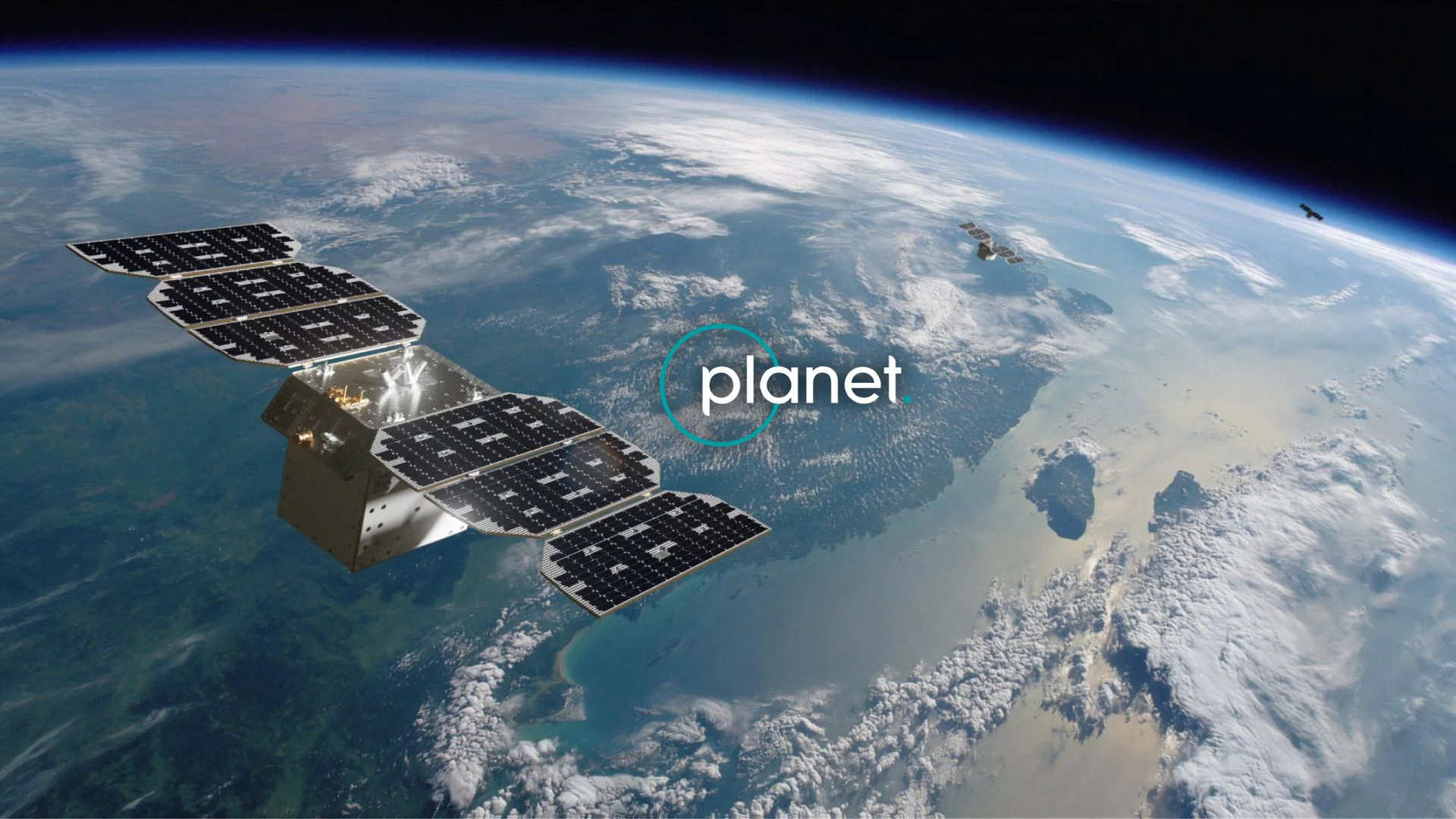
Planet Labs is a leading provider of satellite imagery and Earth observation data, offering one of the most comprehensive and frequently updated views of our planet. Through its multi-constellation fleet—including SuperDove, SkySat, Pelican, Owl, and Tanager—Planet captures near-daily global coverage at resolutions ranging from 50 cm precision to wide-area multispectral and hyperspectral imaging. The Planet Insights Platform serves as the central hub for accessing raw imagery, derived data products, and cloud-based analytical tools. Key offerings include Planet Monitoring for high-frequency global coverage, Planet Tasking for on-demand high-resolution captures, Planet Analytic Feeds that transform imagery into actionable insights, Planetary Variables for quantifying dynamic Earth systems, and Planet Hyperspectral for accurate methane emission detection. Planet serves a broad range of industries: governments use AI-powered change detection for defense and civil applications; agricultural organizations leverage precision data for crop monitoring; finance and insurance firms track physical assets and climate risks; and sustainability teams monitor forests, biodiversity, and supply chains. Planet also supports academic and scientific research through dedicated science programs. With transparent and flexible pricing, extensive developer documentation, and a robust partner ecosystem, Planet is suitable for enterprises, research institutions, and government agencies seeking reliable, scalable Earth intelligence at a global scale.
Key Features
- Multi-Constellation Satellite Fleet: Access imagery from SuperDove, SkySat, Pelican, Owl, and Tanager satellites—covering global areas daily at resolutions from wide-area to 50 cm precision.
- Planet Insights Platform: A unified cloud-based platform combining raw imagery, AI-derived data products, and powerful analytics tools for end-to-end geospatial workflows.
- AI-Powered Change Detection: Automatically detect and track changes on the Earth's surface—supporting applications from infrastructure monitoring to deforestation alerts and urban growth analysis.
- Hyperspectral & Methane Monitoring: Planet Hyperspectral (Tanager) provides timely, accurate methane emission detections and advanced spectral analysis for environmental and energy sectors.
- Planetary Variables & Forest Carbon: Quantify dynamic Earth systems and generate reliable, scalable aboveground carbon estimates to support sustainability and climate reporting requirements.
Use Cases
- Government agencies using AI-powered change detection to monitor borders, infrastructure, and conflict zones in near real time.
- Agricultural organizations tracking crop health, growth stages, and field-level changes across large farming regions using daily multispectral imagery.
- Financial and insurance firms monitoring physical assets, commodity-producing regions, and climate-related risks to inform investment and underwriting decisions.
- Forestry and sustainability teams measuring deforestation, land use change, and aboveground carbon stocks to support REDD+ MRV and ESG reporting.
- Energy companies detecting methane emissions and monitoring pipeline and facility infrastructure using Planet's hyperspectral Tanager satellite.
Pros
- Unmatched Coverage Frequency: Near-daily global revisit rates ensure users always have current, up-to-date imagery for time-sensitive monitoring and decision-making.
- Broad Industry Applicability: Purpose-built solutions for agriculture, defense, finance, forestry, insurance, maritime, and government reduce the need for custom integrations.
- Scalable Cloud Analytics: The Planet Insights Platform enables analysis-ready data access at scale without requiring on-premises infrastructure or complex data pipelines.
- Specialized Sensor Diversity: Multiple constellations with multispectral, hyperspectral, and very-high-resolution sensors provide flexibility across use cases and industries.
Cons
- Enterprise-Level Pricing: Planet's services are primarily designed for commercial and government clients, making access cost-prohibitive for small businesses or individual researchers.
- Steep Learning Curve: Working with geospatial data, satellite APIs, and analysis-ready products requires specialized GIS or remote sensing expertise, limiting accessibility for non-technical users.
- Coverage Gaps in Cloud-Heavy Regions: Like all optical satellite systems, cloud cover can affect imagery quality and availability in tropical or frequently overcast areas.
Frequently Asked Questions
How often does Planet capture imagery of the same location?
Planet's SuperDove constellation provides near-daily global coverage, while SkySat and Pelican offer sub-daily revisit rates for targeted high-priority areas.
What industries does Planet serve?
Planet serves agriculture, defense and intelligence, civil government, finance, insurance, energy and infrastructure, forestry, sustainability, maritime, emergency management, and scientific research.
What is the Planet Insights Platform?
It is Planet's unified cloud-based environment where customers can access raw satellite imagery, AI-derived data products, analytics tools, and developer APIs in one place.
Does Planet offer an API for developers?
Yes, Planet provides developer documentation, technical references, and tutorials enabling programmatic access to imagery and analytics data for custom application development.
What is Planet Hyperspectral used for?
Planet Hyperspectral, powered by the Tanager satellite, is designed for methane emission detection and environmental monitoring, offering timely and accurate spectral analysis for energy and sustainability sectors.