
About
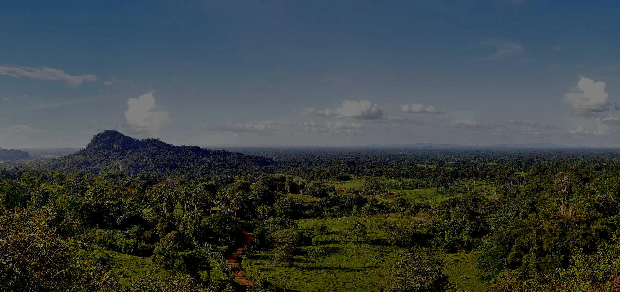
OpenForests is an environmental impact intelligence platform purpose-built for nature-based projects, restoration NGOs, and conservation funders. The platform combines satellite remote sensing, interactive geospatial mapping, and structured impact reporting to help organizations move from good intentions to measurable, verifiable outcomes. At the core of OpenForests is explorer.land, a transparency platform that lets projects map their sites, track land-cover change over time using satellite data, and share verifiable results with donors, sponsors, and the public. The platform supports storytelling through map-based visualizations, Theory of Change interfaces, and branded funding portals. OpenForests also offers consultancy services—auditing monitoring infrastructure, designing measurement frameworks, and managing long-term impact reporting. For complex programs, custom solutions are available, including carbon registry integrations and tailored dashboards. Key audiences include restoration and rewilding NGOs that need transparent donor communications, sponsors and funders requiring real-time project performance metrics, and program managers overseeing multi-site conservation initiatives. With years of expertise, a global footprint across dozens of countries, and 1,000+ projects on explorer.land, OpenForests positions itself as a long-term collaborative partner—not just a software vendor—helping organizations scale local ecological action into globally recognized, trusted impact.
Key Features
- Satellite-Powered Land Monitoring: Track vegetation cover, deforestation, and ecosystem change over time using integrated satellite imagery and remote sensing data.
- Interactive Project Mapping via explorer.land: Publish geo-referenced project sites on a public-facing transparency platform with rich storytelling layers and verifiable impact data.
- Impact Reporting & Donor Communication: Generate structured, visually compelling reports for donors and sponsors that combine real-time metrics with narrative storytelling.
- Custom Solutions & Carbon Registry Integration: Build tailored monitoring platforms, Theory of Change interfaces, and branded funding portals for complex multi-site programs.
- Expert Consultancy Services: Access hands-on support from environmental data specialists who audit, design, and manage your monitoring infrastructure end-to-end.
Use Cases
- A reforestation NGO uses OpenForests to publish an interactive map of all planting sites on explorer.land, allowing donors to track tree survival rates and land recovery progress in real time.
- A conservation funder uses the platform's dashboards to conduct due diligence on portfolio projects, verifying ecological claims with satellite-backed geo-data before releasing grant tranches.
- A carbon registry integrates OpenForests' custom solution to automate monitoring, reporting, and verification (MRV) workflows across hundreds of offset project sites.
- A rewilding organization uses OpenForests consultancy services to design a robust Theory of Change framework and align it with international biodiversity reporting standards.
- A corporate sustainability team uses OpenForests' branded funding platform to transparently report nature-based offset activities to stakeholders and ESG auditors.
Pros
- End-to-End Impact Infrastructure: Combines satellite data, mapping, reporting, and consultancy into a single partner relationship—reducing the need to stitch together multiple tools.
- Proven Global Track Record: Trusted by 900+ organizations and 1,000+ projects across dozens of countries, providing credibility and battle-tested methodology.
- Transparent Donor-Facing Reporting: The explorer.land platform makes it easy to communicate verifiable impact publicly, building trust with funders and the wider public.
- Highly Customizable: Supports branded platforms, carbon registry integrations, and custom Theory of Change interfaces for complex programmatic needs.
Cons
- Premium Pricing Model: As a professional services and SaaS platform targeting NGOs and enterprise funders, costs may be prohibitive for very small or volunteer-run projects.
- Consultation-Led Onboarding: Getting started requires booking a call and working through a consultancy process, which may slow time-to-value for teams needing quick deployment.
- Limited Self-Serve Information: Pricing and feature tiers are not publicly listed, making it harder for organizations to evaluate fit without direct engagement.
Frequently Asked Questions
What is explorer.land?
explorer.land is OpenForests' public transparency platform where nature-based projects can publish interactive maps, track satellite-verified land changes, and share impact reports with donors and the public.
Who is OpenForests designed for?
OpenForests serves restoration and rewilding NGOs, conservation funders, carbon registry programs, and any organization that needs to measure, verify, and communicate nature-based project impact.
Does OpenForests use satellite data?
Yes. The platform integrates satellite remote sensing to monitor land-cover change, deforestation events, and vegetation health over time—providing objective, verifiable evidence of ecological impact.
Can OpenForests build custom platforms for our program?
Yes. OpenForests offers custom solution development including branded funding portals, carbon registry interfaces, and Theory of Change dashboards tailored to complex multi-site programs.
How do I get started with OpenForests?
You can book a discovery call directly from the OpenForests website. Their team will assess your monitoring needs, design an appropriate infrastructure, and guide you through onboarding.